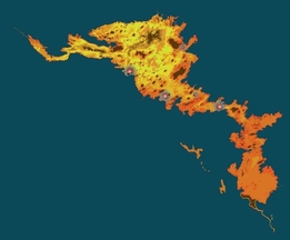
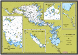
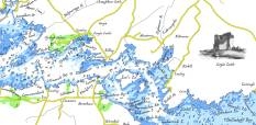
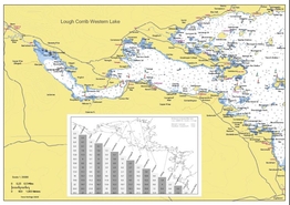
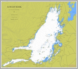
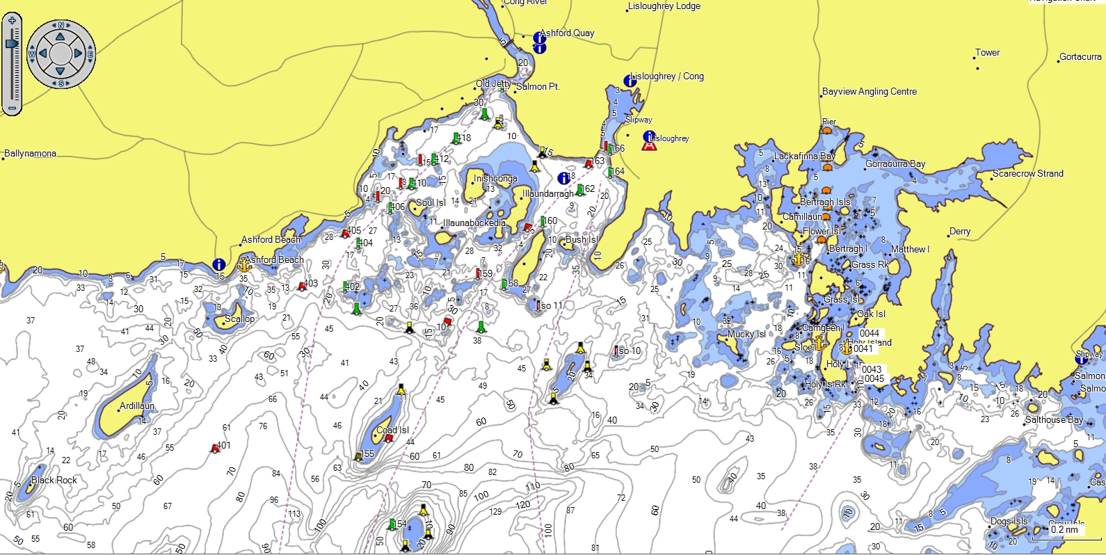
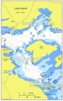
Lough Corrib Antique Chart
A beautiful antique style chart of Corrib, the style is of a chart created in the early 1800s.
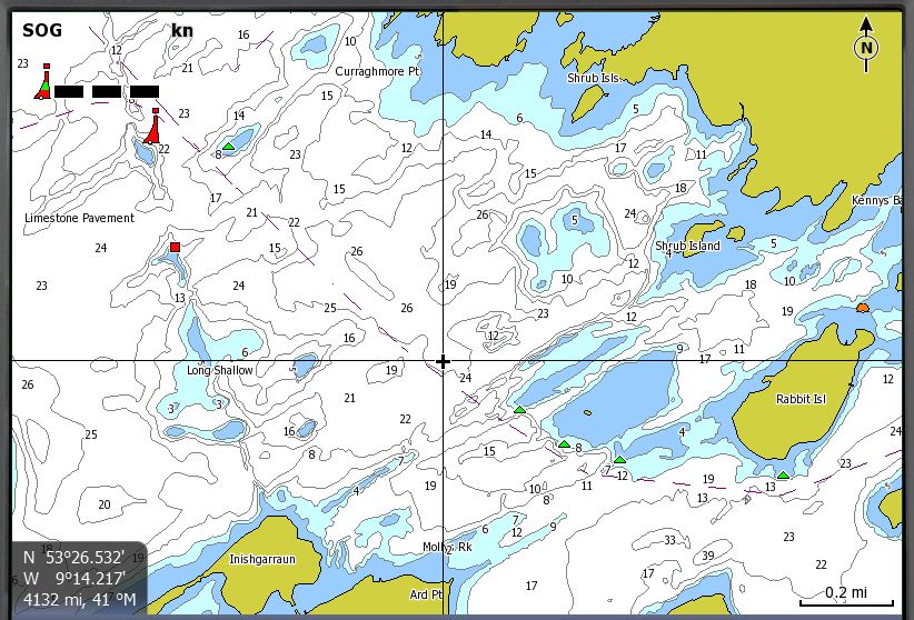
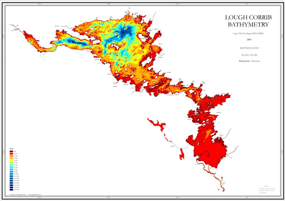
A very different type of chart - with accurate bathymetry and geography from Anglingcharts own surveys, but embellished with a touch of a bygone age.